This guide was synthesized using the latest legislative data and verified by our editorial board. Laws are subject to change; always consult official sources for final confirmation.
The Brokopondo Reservoir and Afobaka Dam are significant geographical landmarks in Suriname, offering a unique blend of natural beauty and human engineering. This article will explore their geography, accessibility, seasonal considerations, and practical insights for expatriates considering a visit or relocation to this tropical paradise.
Understanding Brokopondo Reservoir
Geographical Features
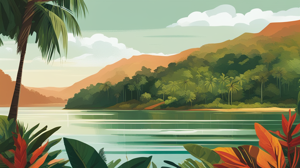
The Brokopondo Reservoir, formed by the construction of the Afobaka Dam on the Suriname River, spans an impressive area of approximately 156 square kilometers (about 60 square miles). Created between 1960 and 1964, the reservoir is not only vital for hydroelectric power generation but also serves as a habitat for diverse flora and fauna. The surrounding area is primarily covered with lush tropical rainforest, characteristic of Suriname’s rich biodiversity.
This reservoir is situated about 100 kilometers (62 miles) south of Paramaribo, the capital city. The natural landscape features rolling hills and dense forests, making it a picturesque destination for nature lovers. The reservoir's water level is maintained through a system of dams and spillways, ensuring the stability of the region's ecosystems while also providing recreational opportunities.
Climate Considerations
Suriname's tropical climate significantly influences the geographical features of the Brokopondo Reservoir. With average temperatures ranging from 27-32°C (80-90°F) year-round, the region experiences high humidity. The rainy season, lasting from April to August and again from November to February, can lead to increased water levels in the reservoir, impacting both the ecology and accessibility of the area.
During the dry season, which typically runs from February to April and August to November, visitors will find the environment more accessible for exploration. However, it’s essential to note that weather conditions can change rapidly, so checking the forecast before planning a visit is advisable.
The Afobaka Dam: An Engineering Marvel
Construction and Purpose
The Afobaka Dam, stretching 1,913 meters (6,280 feet), was constructed to harness the power of the Suriname River for hydroelectric energy. As of our last update, it remains one of the largest hydroelectric plants in the country, contributing significantly to Suriname's energy needs. The dam also plays a crucial role in flood control and water management in the region.
The dam has been operational since the early 1960s, and although it was not completely filled until 1971, it has since become essential for both the local economy and infrastructure. The electricity generated is vital for urban areas, supporting commercial activities and improving living standards.
Environmental Impact
While the Afobaka Dam and Brokopondo Reservoir have brought significant benefits, they have also had environmental repercussions. The creation of the reservoir resulted in the flooding of extensive areas of forest, which led to the release of greenhouse gases from decomposing vegetation. This has historically affected water quality and the surrounding ecosystem.
Efforts have been made to mitigate these impacts, but visitors should be aware of the ongoing environmental challenges. Engaging with local conservation initiatives can offer a more sustainable experience while visiting the reservoir and dam.
Accessibility and Transportation
Getting There
Traveling to the Brokopondo Reservoir and Afobaka Dam typically involves a road trip from Paramaribo. The journey covers approximately 100 kilometers (62 miles) and takes about 1.5 to 2 hours by car, depending on road conditions. Public transportation options, such as minivans or taxis, are available, but arranging private transportation can provide more flexibility and comfort.
Once at the reservoir, accessibility may vary depending on the weather and road conditions. Some areas may require off-road vehicles, especially during the rainy season. It's advisable to check local travel advisories and seek guidance from local contacts regarding the best routes and transportation options.
Safety Considerations
While visiting the Brokopondo Reservoir and Afobaka Dam, safety should be a priority. The area is generally safe for tourists, but common sense precautions are crucial. Always travel in groups, inform someone of your plans, and avoid wandering into remote areas alone. Additionally, be cautious around water bodies, as currents can be unpredictable.
It's also wise to stay updated on local weather conditions, especially during the rainy season, to avoid potential flooding or landslides in the region.
What Expats Should Know
Practical Tips for Visiting
For expatriates living in or visiting Suriname, exploring the Brokopondo Reservoir and Afobaka Dam can be a rewarding experience. Pack plenty of water, insect repellent, and sunscreen to stay comfortable in the tropical climate. Wearing lightweight, breathable clothing is also advisable due to the heat and humidity.
Engaging with local tour operators can enhance your experience. They often provide guided tours that offer insights into the ecology, history, and culture surrounding the reservoir and dam. This can be a great way to meet locals and learn more about the region.
Local Amenities
While amenities near the Brokopondo Reservoir may be limited, several local restaurants and small shops can provide meals and supplies. It's advisable to carry cash, as not all places may accept credit cards. The local cuisine is a delightful mix of cultures, reflecting Suriname's diverse population, so take the opportunity to sample traditional dishes while you're there.
Conclusion
The Brokopondo Reservoir and Afobaka Dam represent significant geographical and engineering feats in Suriname. With their stunning natural beauty and vital contributions to energy production, they are essential destinations for expatriates and visitors alike. By understanding the geography, climate, and accessibility of these landmarks, you can make the most of your visit and enjoy the rich experiences that Suriname has to offer.
AI-Generated Content: This article was created with AI assistance and may contain inaccuracies. Please verify important information with official sources.
Primary Sources
Last updated: September 2026